A lot of eyes have been on our rivers this year, and they are high. In fact, I've lived in Cambridge for six years and I've never seen the Rum River as high as it is this year. So much that the DNR has closed access to the launches both in Cambridge and between here and Princeton.
As the winter finally loosens its icy grip on our lakes, I usually do a little driving around to the launch. Just because I can. Although this year, I was surprised by what I found. I also took a few snap shots. First is the launch, or what used to be the launch at Skogman Lake.
As you can see, the launch itself is completely under water. I'm not sure if anyone has tried to use it yet, but I know I'm not going to.
Here's another showing how far up the water has come. Typically, the water line is on the other side of the bushes and trees.
Another shot of the "parking lot" at Skogman. The water has also pooled on the other side of parking lot.
I also made a stop at Lake Fannie, which is connected to Skogman via a culvert underneath HWY 95.
Here again, the launch is completely flooded.
The next weekend, I visited Green Lake between Cambridge and Princeton.
At least here the launch is exposed and usable. But the water is still high, so high that some of the "guest cabins" at the rich folks houses would get wet if the wind blew strong enough. (No exaggerating here either.)
Another shot of Green.
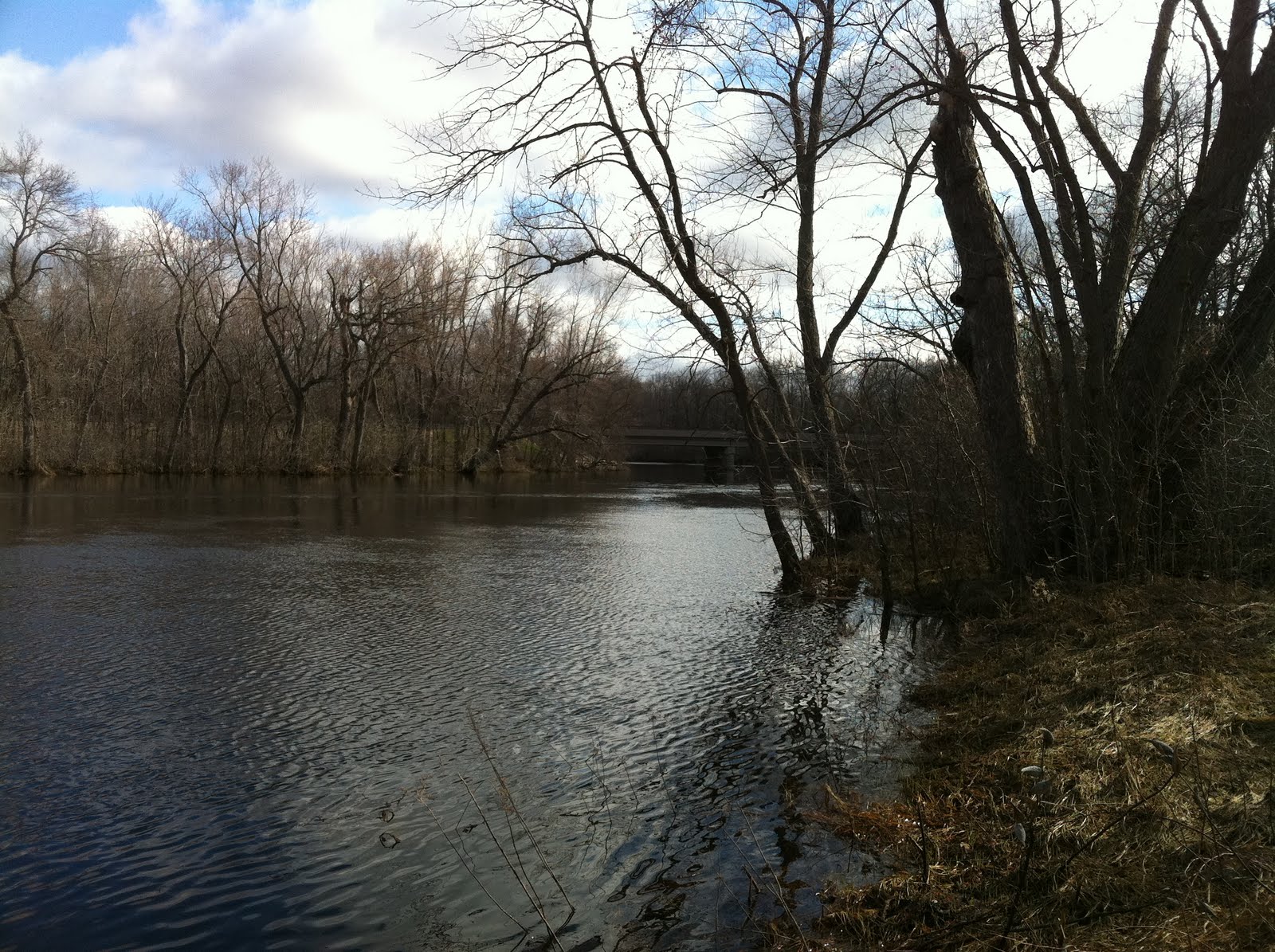
Concerning the Rum River. As I said before, access to the launches are blocked off. But you can still get to the river by cutting across a small field at the launch in between Cambridge and Princeton. I took a few shots and was astounded.
These shots reminded me, vaguely, of Louisiana.
At normal levels, this embankment is a steep drop of about five feet. Now the water is fairly level with the bank.


No comments:
Post a Comment